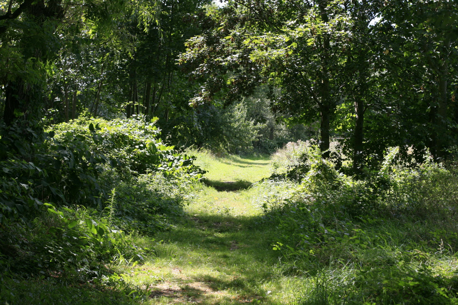
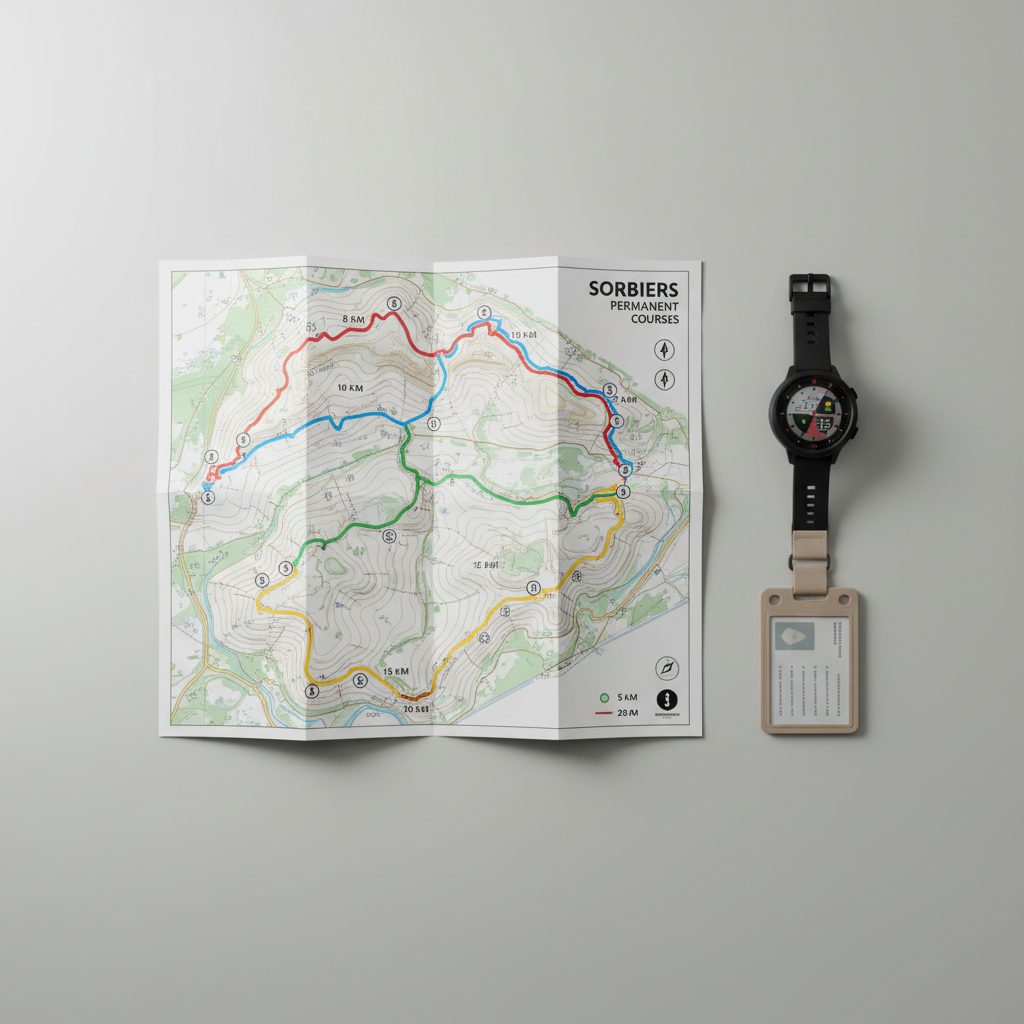
Parcours 1 Les trois parcs

8km – 60m D+ – Niveau facile

Parcours alternant paysages urbains et naturels. Partez à la découverte de trois parcs sur les communes de Sorbiers et de La Talaudière, entrecoupés par des passages le long des berges de l’Onzon.

Photo Guy Crozier
A clean, photographic overhead view of a printed trail map for the Sorbiers permanent courses, laid flat on a light grey, matte desk surface. The map shows four distinct, color-coded looped routes with clear contour lines, distance indicators, and starting point icons, designed in a restrained, professional graphic style. Next to the map lies a modern GPS watch and a neutral-toned lanyard with an access badge, both aligned precisely to reinforce a structured layout. Soft studio lighting from the upper left creates gentle, controlled shadows and subtle highlights along the map’s folds. Shot from a true bird’s-eye perspective with sharp focus across the frame, the image feels organized, precise, and ideal for illustrating route planning and course overview.
A photographic, structured composition of a minimalist training zone for trail and marche nordique near Sorbiers, featuring a flat, compacted earth area bordered by low wooden beams, with evenly spaced, neutral-colored training markers and a simple stretching bar installation. Surrounding the zone, neatly maintained grass and a line of trees provide a natural yet orderly backdrop. The scene is lit by soft, diffused daylight under a lightly clouded sky, reducing contrast and emphasizing clarity. Shot from a slightly elevated, wide-angle perspective, the entire training zone is visible with straight, parallel lines reinforcing a sense of organization. The mood is calm, functional, and methodical, illustrating a dedicated space for structured warm-up and technical work in harmony with the landscape.
A clean, photographic overhead view of a printed trail map for the Sorbiers permanent courses, laid flat on a light grey, matte desk surface. The map shows four distinct, color-coded looped routes with clear contour lines, distance indicators, and starting point icons, designed in a restrained, professional graphic style. Next to the map lies a modern GPS watch and a neutral-toned lanyard with an access badge, both aligned precisely to reinforce a structured layout. Soft studio lighting from the upper left creates gentle, controlled shadows and subtle highlights along the map’s folds. Shot from a true bird’s-eye perspective with sharp focus across the frame, the image feels organized, precise, and ideal for illustrating route planning and course overview.
S’agit-il de votre nouveau site ? Connectez-vous pour activer les fonctionnalités d’administration et ignorer ce message
Se connecter